Dark Sky Sanctuary PRESS Kit
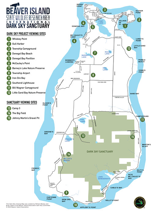
Sanctuary Map
This high resolution PDF copy of the sanctuary map includes viewing locations with in the sanctuary and at project locations on the island.
Sanctuary LOGO (Starfield)
This is a the sanctuary logo with a starfield as fill for the text with a transparent background. It may be used as a graphic in articles about the sanctuary. No other use is authorized.
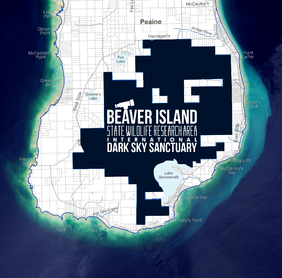
Sanctuary Area Graphic
This is a map that shows the sanctuary area on the island with the santuary logo for use as a graphic for an article or entry about the sanctuary.
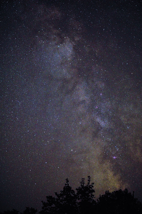
Sanctuary Photo
Photo of Milky Way soaring over the sanctuary. Photo credit required: Beaver Island Dark Sky Project photo by Cynthia Hector Johnson.